


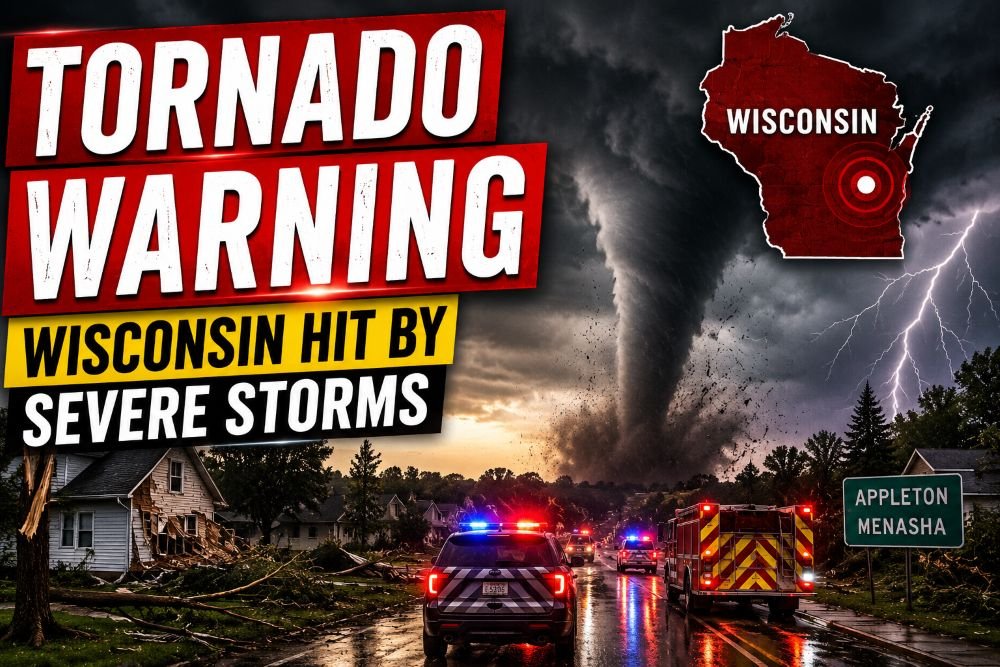
A fast‑moving line of severe thunderstorms has triggered a Tornado Warning for parts of northeastern Illinois and southeastern Wisconsin this morning, with forecasters urging residents to take shelter immediately as storms capable of producing a tornado push across the region. The National Weather Service says radar is detecting rotation within these storms, and any tornado that develops could form quickly with little time to react. People in the warning area are being told to move to an interior room on the lowest floor of a sturdy building and stay away from windows until the storm passes.
Current Situation
As of late morning Monday, the National Weather Service has a Tornado Warning in effect for portions of DuPage County in northeastern Illinois and Kenosha County in southeastern Wisconsin, based on Doppler radar–indicated rotation within a severe thunderstorm. Earlier in the day, a separate Tornado Warning was issued for Dodge, Jefferson and Waukesha counties in Wisconsin as a storm near Watertown strengthened and moved southeast at roughly 35 miles per hour. Forecasters say the storm environment supports severe thunderstorms capable of producing damaging winds, hail and a brief tornado, and additional warnings may be issued as the line tracks east and southeast.mesonet.
Radar imagery from National Weather Service offices in the region shows intense thunderstorms embedded within a larger line, with pockets of stronger rotation prompting tornado alerts. In addition to the Tornado Warning, nearby counties remain under severe thunderstorm warnings, meaning storms with 60 to 70 mile per hour wind gusts, heavy rain and quarter‑size hail are possible. Wireless Emergency Alerts and local sirens have been activated in the warning area, and officials are emphasizing that residents should treat all tornado and severe weather alerts as life‑threatening until the storms clear.
What Officials Are Saying
The National Weather Service reminds residents that a Tornado Warning means a developing tornado has been detected by Doppler radar or reported by trained spotters, and that people in the warned area should seek shelter immediately. Forecasters stress that these warnings are typically issued for small portions of counties and often last less than 45 minutes, but every minute counts when a storm is approaching. Local NWS offices are highlighting the risk of damaging straight‑line winds and embedded tornadoes within the strongest parts of the line, especially where storms bow out on radar.
Emergency management agencies across the Midwest have been posting updates urging people to monitor a reliable weather source, keep phones charged and be prepared to move quickly to a safe place if new warnings are issued. Officials are also reminding drivers not to try to outrun a tornado, but instead to pull off the road and seek shelter in a sturdy building if possible, or as a last resort to lie flat in a low spot and protect their head from flying debris. Authorities caution that conditions remain fluid and that assessments of any storm damage will only begin once storms move out of a given area.
Areas At Greatest Risk
The immediate threat is focused on the counties currently under a Tornado Warning, including portions of DuPage County in the Chicago metro area and Kenosha County along the Lake Michigan shoreline, as well as areas of southeastern Wisconsin that were under earlier warnings. Communities near Watertown, Delafield and surrounding towns were directly in the path of a warned storm late in the morning, and storms are tracking toward more populated corridors along major highways. Interstates and state routes across northeastern Illinois and southeastern Wisconsin may see rapidly deteriorating conditions as storms move through, with sudden drops in visibility and wind‑driven rain.
Beyond the active Tornado Warning polygons, a broader region of the Upper Midwest, including parts of Michigan, Indiana and Ohio, remains under a risk for severe thunderstorms capable of damaging winds, hail and a few tornadoes through tonight. The Storm Prediction Center has outlined a slight to enhanced risk of severe weather for portions of the central and eastern United States, including areas around Chicago, Detroit, St. Louis and Cleveland, reflecting the potential for multiple rounds of storms as the system progresses. Residents well outside the current warning boxes are being advised to stay weather‑aware as storms evolve and new watches or warnings are posted.
Storm Timeline
Showers and thunderstorms developed earlier today over the Upper Midwest as warm, humid air interacted with an approaching disturbance, setting the stage for severe weather. By mid to late morning, storms had intensified over southern Wisconsin, prompting the first Tornado Warning as rotation developed near Watertown and the storm began racing southeast. Additional storms are expected to continue forming and organizing along and ahead of a cold front as the system pushes into the afternoon and evening hours.
In Michigan, forecasters expect the most intense storms across the southern Lower Peninsula from early afternoon through midnight, with the potential for isolated tornadoes, one‑inch hail and 60 to 70 mile per hour wind gusts. The broader severe weather risk for the central United States, including Chicago and Detroit, is expected to persist into tonight, with some storms potentially continuing or redeveloping overnight as the line moves east. For many communities, that means the window for severe thunderstorms and possible tornadoes will extend well beyond the current Tornado Warning, and residents should plan for changing conditions through early Tuesday.
Damage Reports
As of the latest information from National Weather Service and regional reporting, there have not yet been widespread confirmed reports of significant tornado damage in the current Tornado Warning areas, though conditions remain highly dynamic and may change quickly. Earlier storms have produced damaging wind gusts, hail and localized flooding in parts of the Midwest, and local agencies are preparing to survey any potential storm damage once it is safe for crews to be out. Power outages are possible where strong winds bring down trees or power lines, especially in areas that experience repeated rounds of severe thunderstorms today and tonight.
Authorities stress that any early social media images or informal reports of tornadoes or storm damage should be treated cautiously until verified by emergency officials or trained spotters. Damage assessment teams from local governments and NWS offices typically fan out after storms to confirm whether damage was caused by a tornado or straight‑line winds, a process that can take several hours to a full day. Until those assessments are complete, officials are focusing on life safety, checking for injuries, clearing blocked roads and restoring essential services where needed.
Safety Information
With an active Tornado Warning in place, forecasters say the safest move is to get to the lowest level of a sturdy building, in an interior room without windows such as a closet, bathroom or hallway, and put as many walls between you and the outside as possible. The National Weather Service emphasizes that people in mobile homes, manufactured housing or vehicles should move to a more substantial shelter if at all possible, since those structures are highly vulnerable to both tornadoes and severe thunderstorm winds. If a designated storm shelter or safe room is available at home, work or school, officials say now is the time to use it.
For those in larger facilities such as schools, hospitals, shopping centers or factories, emergency managers advise moving to interior hallways on the lowest floor and away from large open rooms with wide roofs, which are structurally weaker in high winds. Residents are being reminded not to waste time opening windows, as that does not reduce damage and only exposes people to flying glass and debris. Wearing a bicycle or motorcycle helmet, sturdy shoes and having a flashlight and charged phone can help reduce injuries and aid communication if damage occurs.
Weather Forecast
Looking beyond the active Tornado Warning, the broader weather forecast points to a continued threat of severe weather across parts of the Midwest and into the eastern United States through tonight and early Tuesday. The Storm Prediction Center highlights the potential for damaging straight‑line winds as the primary hazard, but also notes that embedded tornadoes and pockets of large hail may develop within more organized storm segments. Heavy rain from successive thunderstorms could trigger localized flash flooding, particularly in low‑lying and poor‑drainage areas.
As the system shifts east, the severe weather threat is expected to spread into more of the Ohio Valley and eventually the eastern U.S., with a slight risk already outlined for parts of the Mid‑Atlantic on Tuesday. Behind the storms, somewhat cooler and less humid air is likely to move into portions of the Upper Midwest, while dangerous heat persists in other parts of the country under different weather patterns. Forecasters urge everyone in the path of today’s severe weather to stay tuned to local National Weather Service updates, trusted local media and official emergency alerts as the situation continues to evolve.
