


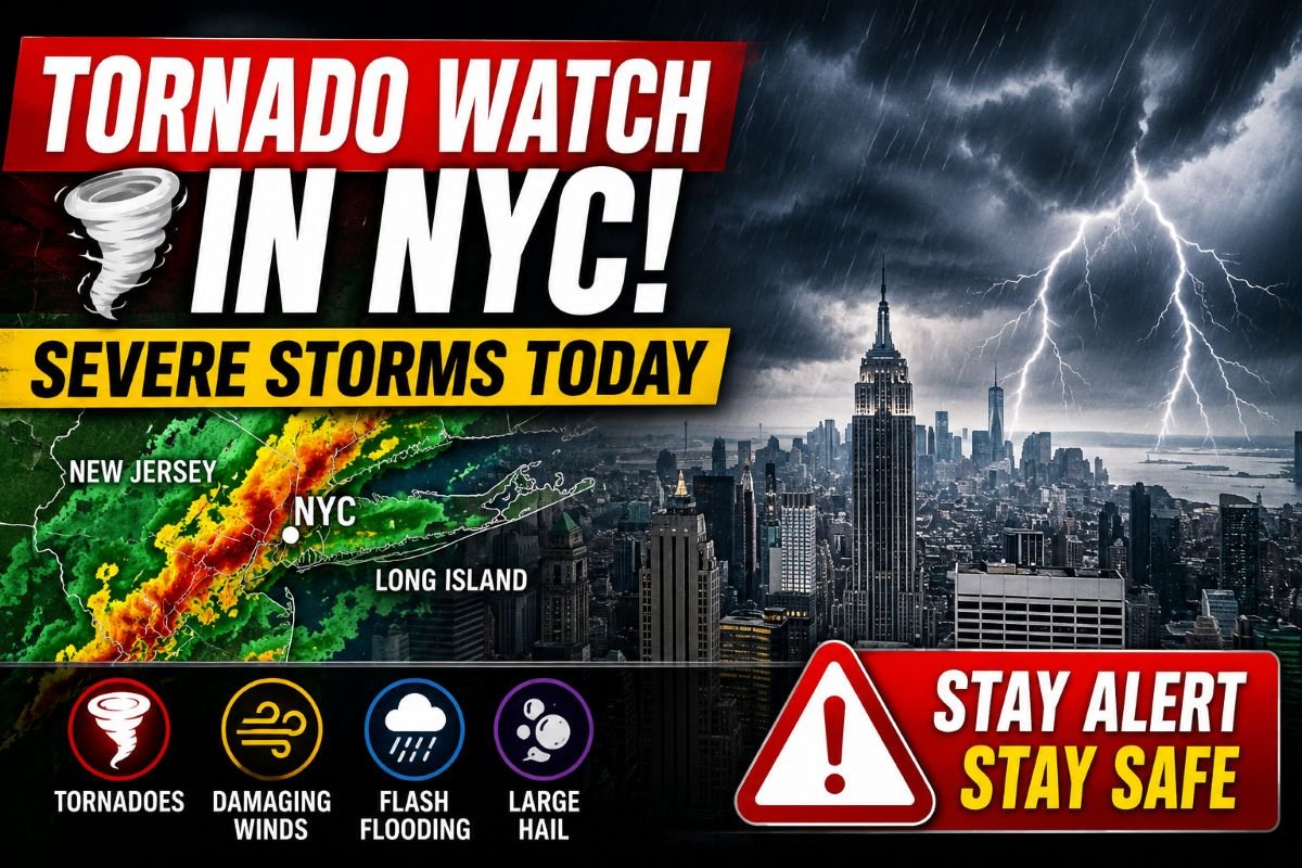
Millions of people across New York City, northern New Jersey and surrounding communities are under a tornado watch Tuesday as a dangerous line of severe thunderstorms moves across the Northeast. The National Weather Service, Storm Prediction Center and local emergency management officials warn that conditions are favorable for isolated tornadoes, damaging wind gusts, large hail and flash flooding through the afternoon and evening.
The tornado watch covers large portions of the Tri State area, including New York City, Long Island, northeastern New Jersey and parts of the Lower Hudson Valley. Meteorologists say the greatest threat will develop from midday through the evening commute as powerful thunderstorms race eastward. While a tornado has not been confirmed simply because a watch has been issued, officials caution that individual storms may strengthen quickly and prompt a tornado warning with little advance notice.
Residents searching for a tornado warning NYC update should understand that a tornado watch is an early alert issued when weather conditions are capable of producing tornadoes. If a tornado warning is later issued, immediate action is required because a tornado has either been spotted or detected by weather radar.
The severe weather outbreak also threatens widespread heavy rain capable of causing flash flooding in urban neighborhoods, damaging straight line winds that could topple trees and power lines, and frequent lightning that may disrupt travel across one of the nation’s busiest metropolitan regions.
Why Was the Tornado Watch Issued Today?
Today’s tornado watch was issued after meteorologists identified a combination of atmospheric ingredients that significantly increases the potential for severe thunderstorms across the Northeast.
A powerful upper level disturbance is moving east while hot, moisture rich air continues streaming northward into New York and New Jersey. This warm and humid environment provides the fuel thunderstorms need to grow rapidly.
At the same time, stronger winds several thousand feet above the ground are creating increasing wind shear, a change in wind speed and direction with height that allows thunderstorms to rotate. When instability and wind shear overlap, storms become more capable of producing isolated tornadoes along with destructive straight line winds.
According to the Storm Prediction Center, forecast models indicate sufficient atmospheric instability to support organized severe thunderstorms capable of producing wind gusts exceeding 60 mph, isolated tornadoes and hail in the strongest storm cells.
Meteorologists with the National Weather Service continue monitoring conditions using Doppler weather radar, satellite imagery, lightning detection networks and reports from trained storm spotters. Additional tornado warnings or severe thunderstorm warnings may be issued rapidly if storms begin rotating or intensify unexpectedly.
NOAA forecasters emphasized that not every thunderstorm within the tornado watch will become severe. However, the overall weather pattern supports enough risk that residents across the watch area should remain alert throughout the afternoon and evening.
Areas Under the Tornado Watch
The tornado watch includes much of the New York City metropolitan region where severe thunderstorms are expected to develop during the afternoon and evening hours.
Communities under the watch include all five New York City boroughs, Long Island, Nassau County, portions of the Lower Hudson Valley and much of northeastern New Jersey. Major cities include Manhattan, Brooklyn, Queens, the Bronx, Staten Island, Newark, Jersey City, Yonkers and surrounding communities.
Emergency management agencies continue coordinating with National Weather Service offices as storms approach from western Pennsylvania and New Jersey. Forecasters expect thunderstorms to organize into clusters before tracking east across the metropolitan area.
Although the tornado watch covers a broad geographic region, the most intense storms may only affect certain neighborhoods. Some communities could experience heavy rain with little wind, while others may see damaging winds, hail or isolated tornadoes.
Residents searching for tornado watch NYC updates are encouraged to monitor county specific weather alerts because warnings may be issued only for communities directly threatened by dangerous storms.
Major transportation corridors, including Interstate 95, the New Jersey Turnpike, the Long Island Expressway and several commuter rail systems, may experience rapidly changing weather conditions as thunderstorms move through the region.
What Weather Threats Are Expected?
The tornado watch highlights several dangerous weather hazards that may develop as thunderstorms strengthen throughout the day.
The primary concern remains damaging straight line winds. Forecasters say the strongest thunderstorms could produce wind gusts between 60 and 70 mph, powerful enough to bring down trees, snap utility poles, damage roofs and leave thousands of customers without electricity.
An isolated tornado also remains possible. Although tornadoes are expected to be relatively limited in number, even a brief tornado can produce significant localized damage by overturning vehicles, destroying trees and damaging homes and businesses.
Large hail may accompany the strongest rotating thunderstorms as powerful updrafts suspend hailstones high into the atmosphere before they fall to the ground. While widespread large hail is not expected, isolated hailstones may be large enough to damage vehicles, roofs and windows.
Heavy rainfall presents another major concern. Thunderstorms may produce rainfall rates capable of overwhelming storm drains and creating flash flooding on city streets, underpasses and low lying neighborhoods. Urban areas are especially vulnerable because pavement prevents water from quickly soaking into the ground.
Frequent cloud to ground lightning will accompany many of the storms, creating an additional hazard for anyone outdoors. Emergency officials advise residents to move indoors immediately if thunder is heard because lightning can strike well ahead of heavy rainfall.
Meteorologists also warn that weather conditions may change rapidly. Storms that appear relatively weak can intensify within minutes as they move into more favorable atmospheric conditions.
Tornado Watch vs Warning: What NYC Residents Should Know
One of the most common questions during severe weather is the difference between a tornado watch vs warning. Although the terms sound similar, they require very different responses.
A tornado watch means weather conditions are favorable for tornadoes to develop over a broad area. It is an early warning that residents should review safety plans, monitor weather alerts and be prepared to act if storms intensify.
A tornado warning means a tornado has been detected by weather radar or confirmed by trained weather observers. When a tornado warning is issued, people should immediately move to a basement or an interior room on the lowest floor of a sturdy building away from windows.
Understanding the difference between a tornado warning vs watch can save valuable time during rapidly changing weather conditions. A tornado watch gives residents time to prepare, while a tornado warning signals that dangerous weather is already occurring or expected within minutes.
For many people searching online for tornado warning NYC, tornado watch NYC or tornado NYC, the key message from emergency officials is simple. Continue monitoring trusted weather sources throughout the day because watches can quickly escalate into warnings if severe thunderstorms begin producing rotation.
Latest Weather Alerts
National Weather Service meteorologists continue tracking multiple clusters of severe thunderstorms moving east across New Jersey and toward the New York City metropolitan area. As storms strengthen, additional tornado warning, severe thunderstorm warning and flash flood warning alerts could be issued with little notice for communities directly in the path of the strongest cells.
Emergency management officials are urging residents to keep Wireless Emergency Alerts enabled on their phones and monitor NOAA Weather Radio, trusted local television stations and official National Weather Service updates throughout the afternoon and evening. Weather conditions can change rapidly, particularly when thunderstorms begin rotating.
Forecasters stress that the tornado watch remains in effect even if skies temporarily clear. New thunderstorms can develop quickly ahead of the advancing cold front, producing dangerous weather with very little warning.
Storm Timeline
The severe weather threat is expected to unfold in several stages as the storm system moves across the Northeast.
Scattered showers and thunderstorms developed during the morning across parts of Pennsylvania and New Jersey, bringing heavy rain and frequent lightning. As temperatures climbed and humidity remained high, the atmosphere became increasingly unstable, creating favorable conditions for stronger storms later in the day.
The highest risk period is expected from the afternoon through the evening commute. During this window, severe thunderstorms could produce damaging straight line winds, isolated tornadoes, large hail and torrential rainfall capable of causing flash flooding. Storms are forecast to move steadily from west to east, reaching New York City, Long Island and southern Connecticut before gradually weakening later tonight.
Even after the strongest storms move offshore, lingering showers and isolated thunderstorms may continue overnight before cooler and drier air arrives behind the cold front.
Meteorologists caution that storm timing may vary from one community to another. Residents should not wait until severe weather is visible before taking precautions because tornado warnings are often issued only minutes before dangerous storms arrive.
Travel and Power Outage Concerns
The tornado watch coincides with one of the busiest travel periods of the day, raising concerns for commuters across highways, airports and public transportation systems.
Heavy rain may quickly reduce visibility while creating standing water on major roadways, including Interstate 95, the New Jersey Turnpike and several parkways throughout the region. Drivers are urged to reduce speed, leave extra stopping distance and never drive through flooded roads because water depth and road conditions may be impossible to judge.
Flights at John F. Kennedy International Airport, LaGuardia Airport and Newark Liberty International Airport could experience delays or temporary ground stops as thunderstorms move through the region. Travelers should check directly with their airline before leaving for the airport.
Commuter rail services and subway systems may also experience delays if flooding affects tracks, stations or electrical equipment.
Strong wind gusts may bring down trees and power lines, increasing the possibility of scattered power outages across parts of New York and New Jersey. Utility companies have positioned response crews across the region to restore service as quickly as weather conditions safely allow.
Residents are encouraged to charge mobile phones, portable battery packs and essential medical equipment before the strongest storms arrive in case electrical service is interrupted.
What Emergency Officials Are Advising
Emergency officials across New York, New Jersey and Connecticut are urging residents to remain weather aware until the tornado watch expires.
The National Weather Service reminds residents that a tornado watch means weather conditions are favorable for tornadoes and severe thunderstorms. If a tornado warning is issued, people should immediately move to a basement or an interior room on the lowest floor of a sturdy building, away from windows.
Officials also recommend having multiple ways to receive weather alerts, including Wireless Emergency Alerts, NOAA Weather Radio, trusted weather apps and local television broadcasts.
People living in flood prone areas should be prepared to move to higher ground if flash flooding develops. Drivers should follow the long standing safety advice to turn around rather than drive through flooded roads, since the depth of floodwater and road conditions may not be visible.
Residents should secure outdoor furniture, grills, trash bins and other loose objects that could become airborne in strong winds. Outdoor activities should be postponed immediately if thunderstorms approach because lightning can strike several miles from the heaviest rain.
Schools, businesses and event organizers are also encouraged to review emergency procedures and identify sturdy shelter locations if warnings are issued during normal operating hours.
What Happens Next?
Forecasters expect the line of severe thunderstorms to continue moving east through the evening before gradually weakening overnight as the cold front pushes offshore.
Although the overall severe weather threat should diminish later tonight, isolated showers may continue behind the front before skies begin clearing on Wednesday. Cooler temperatures and lower humidity are expected to follow, bringing quieter weather to much of the Northeast.
Meteorologists will continue monitoring radar data and atmospheric conditions throughout the evening. If thunderstorms become more organized than expected, additional tornado warnings, severe thunderstorm warnings and flash flood warnings could be issued for communities directly in their path.
Residents should continue monitoring official forecasts until the tornado watch expires because severe weather can still develop after periods of lighter rain.
Latest Forecast Update
According to the latest forecast from the National Weather Service and the Storm Prediction Center, the greatest severe weather threat will continue through the evening before gradually decreasing overnight.
Damaging straight line winds remain the primary hazard, although isolated tornadoes, large hail and flash flooding remain possible within the strongest thunderstorms. Storms are expected to move steadily eastward across New Jersey, New York City, Long Island and southern Connecticut before moving offshore later tonight.
NOAA forecasters expect improving weather conditions on Wednesday as cooler and less humid air moves into the Northeast behind the departing storm system. Until then, residents are urged to continue monitoring official forecasts and respond immediately if a tornado warning, severe thunderstorm warning or flash flood warning is issued for their location.
The National Weather Service will continue issuing forecast updates, radar statements and warning products throughout the event. Emergency officials emphasize that staying informed and acting quickly when warnings are issued remains the best way to stay safe during this severe weather outbreak.
